High-tech tools to study storms
“For one thing, we’re paying a lot more attention to ocean heat content [the total amount of heat stored by the oceans] rather than measuring only sea surface temperatures,” Shay said. “By doing so, we’re able to identify deep, warm layers in the ocean that intensify storms when they encounter them. Prior to Andrew, we just didn’t do that.”
Greater use of atmospheric and oceanic expendables and robotic floats, which transmit data on ocean temperature, current, salinity, and pressure to satellites, has helped researchers produce much more detailed profiles of storms and the underlying ocean to assess whether storms will intensify or dissipate, Shay said.
But employing such strategies is just the tip of the iceberg. Supercomputers have fueled a revolution in hurricane forecasting. “Just think about when the internet began, and look at what we have now,” said David Nolan, a professor of atmospheric sciences who is an expert on hurricanes, tropical meteorology, and computer modeling of weather phenomena. “The changes in the degree and the extent of the technology that now goes into hurricane forecasting are comparable to the technology changes we’ve experienced in our daily lives in terms of the evolution of the internet.”
Hurricane computer models, which during the time of Andrew were deficient at predicting hurricane tracks, are now vastly improved, providing storm tracks days in advance, Nolan said.
“It’s hard to understate how far we’ve advanced in that area,” he said. “And for the most part, computer technology, both in terms of the speed at which computers can perform calculations and the amount of data they can store, is the reason for it.”
As the models have improved, the cone of uncertainty, the probable track of the center of a tropical cyclone, has gotten smaller.
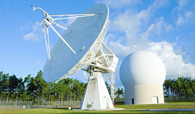
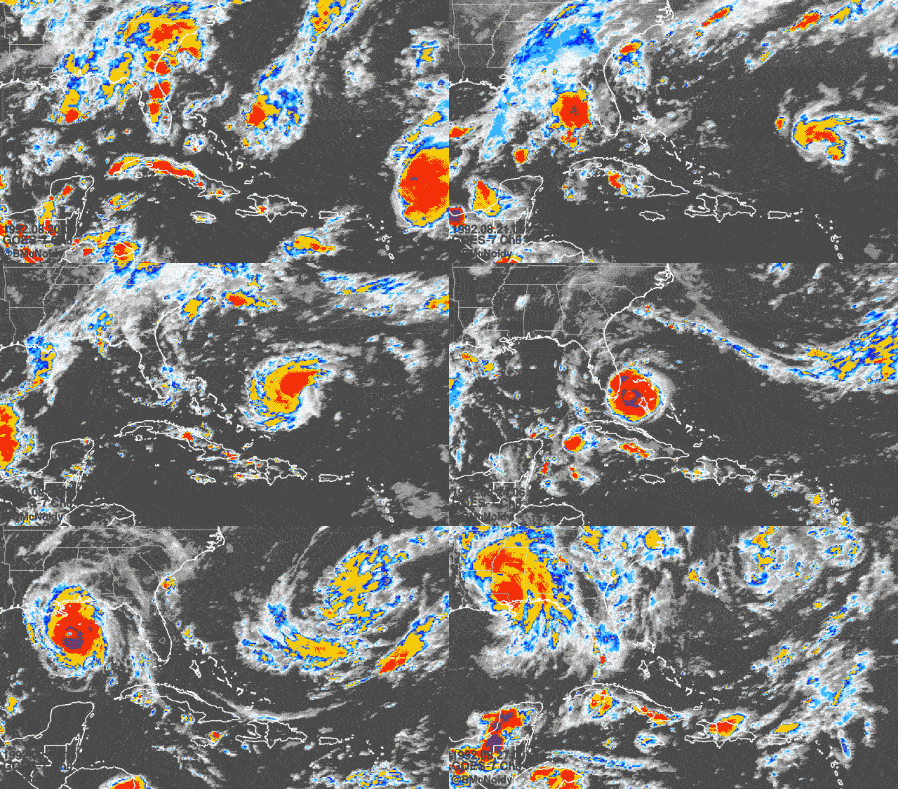
Satellite imagery of tropical cyclones is also quantum leaps above what it used to be. “We used to get visible infrared satellite images of storms, and they would be produced only every few hours. So, forecasters were basically tasked with trying to connect the dots across those hours as to whether the hurricane was getting stronger and in what direction it was moving,” Nolan said.
Improved modeling
Ben Kirtman has not only witnessed the progression in storm forecasting, he has helped lead it, creating two meteorological tools that use a multitude of models to predict weather of all kinds in different timescales. The North American Multi-Model Ensemble (NMME) operates on the principles of redundancy and multiplicity, incorporating models from several different North American climate centers to produce on-time and remarkably accurate monthly-to-seasonal global forecasts. NOAA, Kirtman pointed out, uses NMME to produce its outlook for the Atlantic hurricane season.
“That became the standard practice six years ago,” he said. “There are forecasts that get a lot of attention in the media, but those are not the ones that NOAA uses when it makes its public announcement about whether it’s going to be an active or below-normal season for hurricanes. The backbone of what NOAA issues comes from the NMME we developed and that continues to operate today.”
Meanwhile, the Subseasonal Experiment, or SubX, he created combines multiple global models from the NOAA, NASA, Environment Canada, the Navy, the National Center for Atmospheric Research, and others to forecast weather conditions three to four weeks ahead.
Predicting periods of dormancy and high activity within a hurricane season is the holy grail of tropical cyclone forecasting. “It’s really on the bleeding edge of research,” Kirtman said. “And with SubX, we want to answer the question of whether we’ll enter a one-week or two-week period where we’ll see a lot of tropical cyclone development or if we’re entering a period where it’s going to be relatively quiescent.”
The hurricane modeling process itself is now light years ahead of what it used to be, with the world’s most powerful supercomputers now being used in the process.
“These models are based on a series of governing mathematical equations of the atmosphere and the ocean, and they follow the fundamental laws of conservation of momentum, conservation of mass, and conservation of energy,” said Sharan Majumdar, a professor of atmospheric sciences, whose research focuses on the predictability of tropical cyclone formation. “Those models wrap in all the variables of wind, temperature, pressure, and moisture. But we cannot solve those mathematically on pen and paper. They require terabytes and even petabytes of data that only supercomputers can handle.”
It is “absolutely essential,” he said, to construct models of a hurricane’s structure. “What do the rainbands, the eye, and the eyewall look like?” said Majumdar, a mathematician who became enamored with hurricanes while on a 1998 visit to Miami.
“Understanding a hurricane’s structure helps us forecast its intensity and distribution of winds,” he said. “So, even if the eyewall of a storm is not going to pass over Miami, knowing the storm’s structure will help us determine how strong the winds will be and how long those winds will impact Miami so that we can prepare the right way.”
Rapid intensification
But challenges remain. Chief among them, why the maximum sustained winds of tropical cyclones can increase in only a short period.
“Rapid intensification still continues to be a puzzle,” Shay said. “We know what the typical ingredients are for this phenomenon. But how those ingredients all come together at different places and times is still a mystery. And the models don’t do very well in predicting it, whether it’s forecasting if a storm will increase or decrease in intensity.”
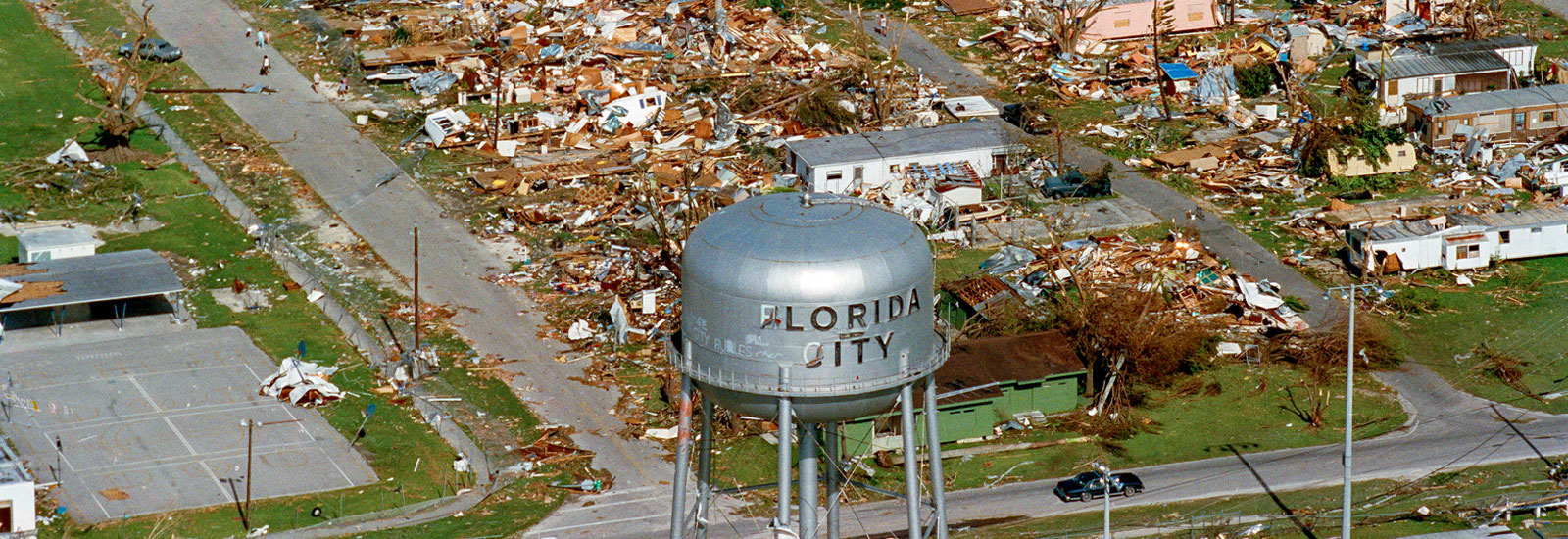
Andrew, a Cape Verde storm born in the waters off the western coast of Africa on Aug. 17, 1992, became a hurricane on August 22, strengthening into a strong Category 4 storm the next day. When it made landfall in southern Miami-Dade County on Aug. 24 around 5 a.m., it had intensified into a Category 5 hurricane, with maximum sustained winds of 165 miles per hour.
By contrast, on Oct. 1, 2002, Hurricane Lili strengthened to a Category 2 storm, making two landfalls in western Cuba that day before entering the Gulf of Mexico. The storm rapidly intensified on Oct. 2, reaching Category 4 status as it began to bear down on Louisiana. “Residents were preparing for a superstorm, and the governor had set evacuation orders in motion for a Category 4 hurricane,” Shay said. But Lili quickly weakened and hit Louisiana as a Category 1 storm.
“One haunting bit of hurricane history is that all four Category 5 hurricane landfalls (1935, 1969, 1992, and 2018) on the U.S. since records began in 1851 were from storms that were only tropical storms three days before landfall,” said Brian McNoldy, a tropical cyclone expert and senior research associate at the Rosenstiel School. “That degree of rapid intensification is still extremely hard to predict with any confidence.”
Shay, who would go on to repair his home after Andrew destroyed nearly 40 percent of it, has studied the rapid intensification process extensively, focusing on the Loop Current. An area of warm water that travels up from the Caribbean, past the Yucatán Peninsula, and into the Gulf of Mexico, the current is known to shed massive eddies that retain considerable amounts of heat, turbocharging hurricanes that pass over them.
Simulating a Category 5 hurricane
Just before the crack of dawn on what will be another warm Miami day, Brian Haus arrives at the Alfred C. Glassell, Jr. SUSTAIN Laboratory on the Marine Campus. He climbs a narrow ladder leading to a set of three valves and opens the two that allow the flow of seawater into the 38,000-gallon, 75-foot-long wind-wave tank that is the centerpiece of the facility.
Once the acrylic tank is filled to its desired level, Haus and a team of others adjust the controls to a massive fan that can produce winds up to Category 5 hurricane strength. Independently controlled paddles generate realistic ocean waves, swells, and storm surge conditions.
The largest facility of its kind, SUSTAIN, which stands for SUrge-STructure-Atmosphere INteraction, helps researchers to better understand the complex air-sea interaction that plays a critical role in fueling tropical cyclones.
Before Hurricane Andrew, there was nothing like it, said Haus, professor and chair of ocean sciences and director of the SUSTAIN Lab.
Measuring conditions at the air-sea interface during an actual hurricane is impossible, but the tank, which is 20 feet wide, “has given us a good expression of how fast hurricanes can spin up as well as a better understanding of rapid intensification,” Haus said. “We’re not where we need to be on rapid intensification yet, but we’re getting better and better at learning how that process occurs.”
The Tropical Cyclone Rapid Intensification project will help in that regard. A team of Rosenstiel School researchers and students is studying 42 years of archival data on storms that rapidly intensified, examining the environment, weather, atmosphere, and wind patterns around those storm systems to develop a statistical understanding of why some rapidly intensified and while others did not.
The project, funded by the Office of Naval Research, has already produced some intriguing findings, according to Majumdar. Researchers have discovered, for example, that more storms have rapidly intensified in the past 21 years than did in the two decades before that. They also found that the number of rapidly intensifying storms has varied by region. “In particular, from the Yucatán Peninsula out to the Eastern Caribbean, we’ve had a much higher number of rapidly intensifying tropical cyclones after the year 2000 than we did before then,” Majumdar said.
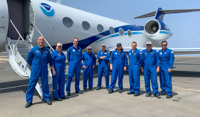
Then, there is climate change and the debate as to whether rising temperatures are spawning stronger hurricanes. “We know the climate is warming,” said Shay, who is collaborating with the National Oceanic and Atmospheric Administration, the Navy, and the Woods Hole Oceanographic Institution on a project this summer to deploy floats and expendables in the Gulf of Mexico. “How much it’s warming and its net impact on hurricane intensity and frequency is still one of those areas of active research. We’ve got to nail that down a little bit firmer.”


